
Fernley Neighbors Block Sources
Public sources can describe a block without becoming a household directory. Lyon GIS maps the parcel shapes around an address and joins property information. The assessor gives address, owner, value, use, and tax context. The Recorder documents transfers and legal descriptions for individual parcels. City permit and code records can show work or official activity at an address. None of these sources proves who is currently inside a home. The distinction is especially important when an owner’s tax mailing address is elsewhere.
| Source | What It Shows About a Block | Access |
|---|---|---|
| Lyon GIS parcel viewer | Adjacent polygons, APNs, parcel-linked owner, mailing, and value fields | Map search, Details, or parcel-layer query |
| Assessor search | Street range, city, subdivision, owner, values, and use | Free online property search |
| Recorder | Transfers, legal descriptions, parties, dates, and map references | Name, APN, or date index; official copies paid |
| City permit and code records | Address-based work, applications, or compliance context | Permit center or records request |
| Ward and precinct maps | Civic geography, not a social neighborhood roster | City GIS public maps |
| Community programs | Public meeting or organization contact paths | City and organization contacts |
For a wider named street trail, use the Fernley street directory. The block method here stays with the parcels that touch or sit immediately around the target address.
Map a Fernley Neighbor Parcel
The Lyon County GIS map offers search by property ID, address, or owner, followed by a Details control for a selected parcel. Locate the target parcel first. Zoom close enough to see its polygon, then select the polygons next to it. Save the APN and the field labels, rather than relying on a visual guess about which lots share a side, street, alley, canal, or right of way. A parcel visible on the same screen is not automatically a shared block boundary.
- Search the target address, property ID, or known owner in the GIS map.
- Open Details for the target parcel and note its APN, situs, legal owner context, and mailing fields.
- Click adjoining parcel polygons one at a time and record each APN before comparing names or mailing values.
- Use the assessor or Recorder to verify a transfer, legal description, or assessment field that needs more context.
- Stop at the land record. Do not infer a household roster from owners, mailing addresses, or parcel proximity.
Lyon Assessor reported approximately 34,803 parcels in June 2025. That scale makes the map a helpful parcel tool, but not a social map of the city. Its assessment maps are not surveys and do not settle access, encroachment, setback, or floodplain questions.
- Parcel polygon
- The mapped shape of an assessed land parcel. It is a map layer, not a survey certification.
- APN
- The assessor parcel number used to tie a map record to tax and property data.
- Situs address
- The physical location of the parcel, distinct from the tax mailing address.
Fernley Neighbor Buffer Limits
Lyon’s map-GIS interface has a Buffer Selection route for choosing features within a distance. When a precise click is hard, a user can enter a distance and unit, select parcels within that distance, and review the returned APNs and parcel fields. The inspected research did not expose the buffer’s exact distance-unit labels. That is a real interface limitation, so they should be checked live before anyone describes a specific unit or setting.
The GIS buffer-selection route may help find nearby parcels, but a radius cannot decide whether two people are neighbors or whether they share a legal boundary. Roads, canals, alleys, city boundaries, and service layers can separate parcels that look adjacent on a small map. Use the map for a list of parcels to verify, then read individual records. No buffer image appears here because the assigned capture was unsuccessful.
Parcel fields can include owner, mailing address, tax district, use, values, dwelling count, and owner/occupancy coding when published. They cannot furnish guests, children, private utility customers, delivery customers, or a complete set of people at an address.
Fernley Neighborhood Watch Contact
Fernley Neighborhood Watch is the verified local block-level program. The city’s historical calendar notice identifies the Lyon County Sheriff as facilitator and describes an observe-and-report approach built on relationships, not police powers. It listed meetings on the fourth Thursday at 6 p.m. in the City Hall Community Room. Because the notice is historical, confirm the current date, time, and contact before attending. No public member roster was located.
The City of Fernley Neighborhood Watch notice is the source for that program context.
Neighborhood Watch can be a sensible way to learn about public safety meetings or observe-and-report practices. It is not a substitute for emergency services, a license to confront anyone, or a source for private household information.
Fernley Neighbor Community Contacts
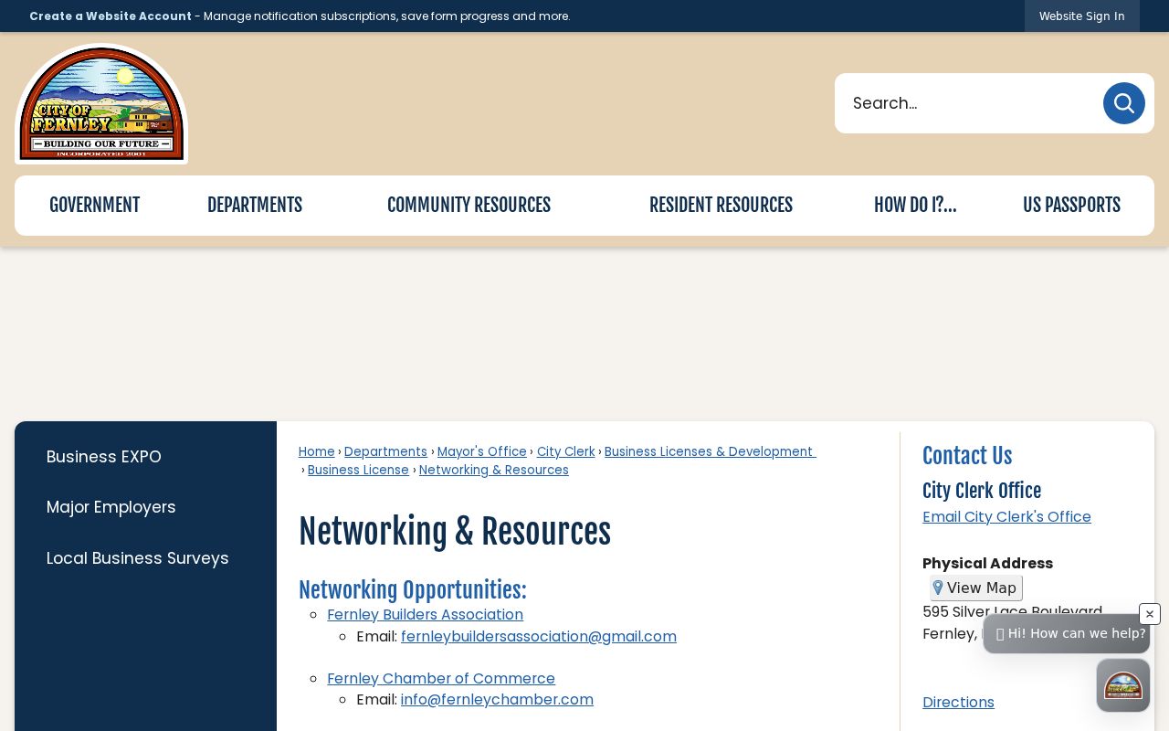
Fernley’s official networking resources name several community paths, but they do not publish a resident directory. Contact an organization for public meetings, newsletters, or historic community material instead of seeking private membership lists. These contacts are a way to connect with the civic or business community, not evidence about who lives on a particular street.
| Fernley Chamber | info@fernleychamber.com; public community and business-network contact, with no member directory located. |
|---|---|
| Fernley Builders Association | fernleybuildersassociation@gmail.com; organization contact, with no member directory located. |
| Fernley Community Foundation | fernleycommunityfoundation@gmail.com; community-network contact, with no resident roster. |
| Other named groups | Rotary, Fernley 4-H, Grace Baptist Church, Desert Pigs, North Lyon County Fire, and others can have public events, but private lists are not presumed public. |
Fernley’s networking-resource page supplies the documented organization contacts.
A group’s public event list may be useful for community participation or local history. It does not authorize a request for its private member list.
Fernley Civic Board Maps
City boards and commissions provide a public civic layer around Fernley neighborhoods. The Planning Commission, Fernley Convention and Tourism Authority, and Senior Citizen Advisory Committee have open meetings and City Council appointment paths. Public agendas and minutes can show a subdivision, project, or street in civic context. They do not show a general roster of people who live around an address.
Fernley’s Boards and Commissions page is the official starting point for meetings and participation.
City GIS also supplies city boundary, ward, precinct, street-index, 2025 PCI street, Fernley street, and regional maps. Wards were established at incorporation in 2001 and adjusted in 2006 due to growth. Use the current ward or precinct map for civic geography, rather than calling it a neighborhood-owner map.
Fernley Voter Block Limits
Voter registration is not a public by-street browse. Nevada Secretary of State My Voter File is identity-gated and requests a person’s name, date of birth, and a Nevada ID number or last four digits of a Social Security number. It is designed for an individual registration check. A lawful county voter list can be requested under NRS 293.440, but access and content are controlled by the election statutes, including NRS 293.558 withholding protections. Protected addresses and identifying details cannot be bypassed by using a block or ZIP query.
Use Nevada My Voter File only for its stated individual purpose and contact Lyon County Voter Registration about formal county election records. A voter result cannot establish who is currently living beside a parcel, and it is not a neighbor directory.
Fernley Neighbors Privacy Limits
Official land records have a defined purpose. They describe parcels, recorded transfers, mailing information, assessment data, and civic boundaries. Commercial data compilers may merge public property, deed, voter, marketing, and address data. That can combine a stale owner with a new address or suggest a relationship that no official record confirms. Neither category legitimately reveals private household information, and neither should be used to pressure people or make a social map of a block.
| Official GIS and assessor records | Best for current parcel fields, APN, recorded-owner context, and map verification. They do not promise occupants. |
|---|---|
| Recorder records | Best for an individual transfer, parties, date, and legal description. They do not create a present household list. |
| Commercial neighbor tools | May compile mixed data with timing and identity errors. They cannot override confidential or private information. |
| Public civic contacts | Best for meetings and community participation, not private membership or address lists. |
Nevada’s Confidential Address Program protects eligible participants through a fictitious address and confidential mail forwarding. Other protected information includes full voter ID or date of birth, private association member lists, utility and delivery customers, DMV addresses, sealed court material, and restricted vital records. A protected or missing result is not a reason to search around the restriction.
For a legitimate property question, verify the latest result at the source agency and record the date it was checked. The Assessor warns that assessment data can change before final tax certification, while the Recorder’s recorded instrument controls legal land detail. For a civic question, use a current ward or precinct map and a public meeting notice. For a community question, ask an organization about its openly advertised event. These narrow paths help Fernley neighbors use public information without turning a block search into an invasion of private life.
Lawful personal use. Use Fernley neighbor records for getting to know the block, civic curiosity, reconnecting, or personal safety awareness. Never use a map, name, or address trail to watch, harass, intimidate, or confront another person.